Developing interactive geospatial dashboards to visualize data and drive data-backed decisions.
Providing expert consulting, strategy, and training support for geospatial adoption and innovation.

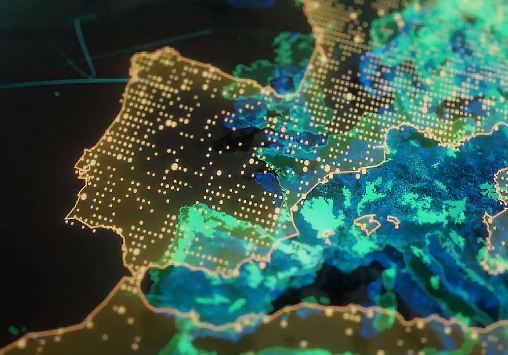
Deriving actionable insights from satellite imagery for mapping, monitoring, and modeling.
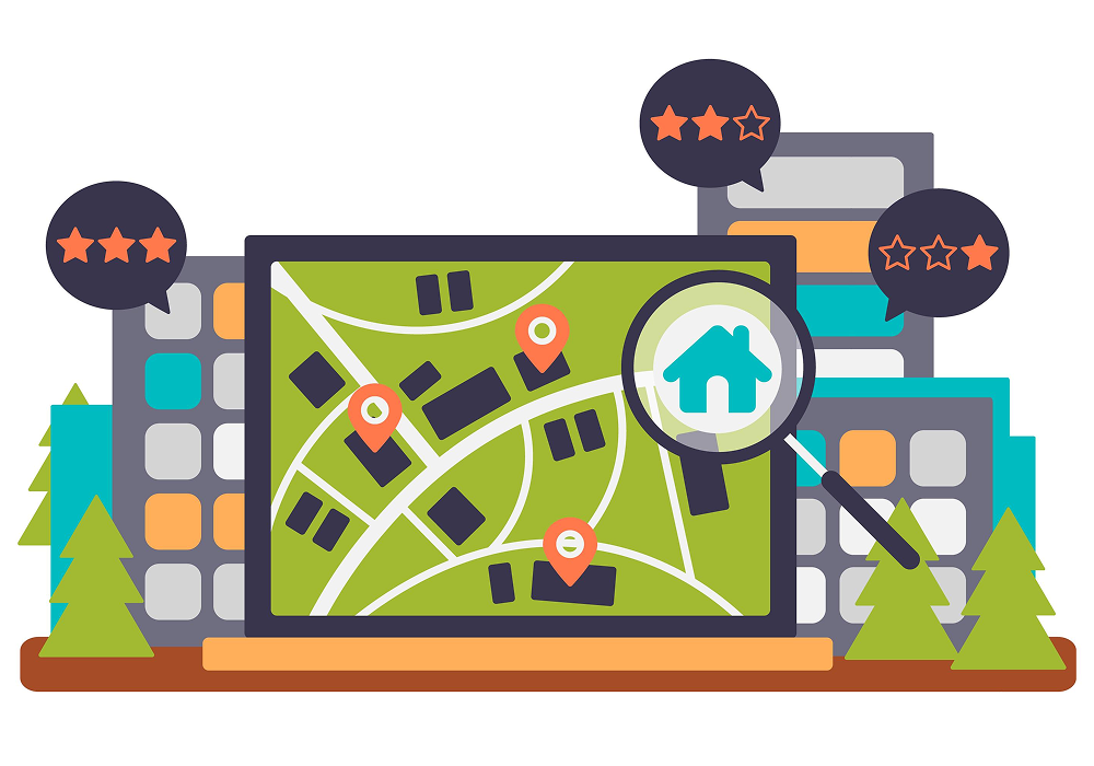
Building accurate, multi-layered spatial datasets for visualization and analysis.
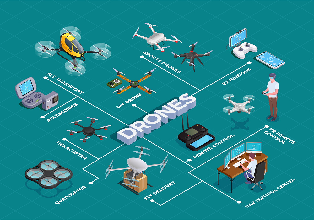
Capturing high-resolution aerial data using UAVs for detailed terrain and feature mapping.

– Generating precise 3D models and elevation data for advanced spatial analysis.

Integrating Artificial Intelligence and Machine Learning to unlock predictive and pattern-based insights.
Digitally mapping physical assets for efficient monitoring, planning, and optimization.