

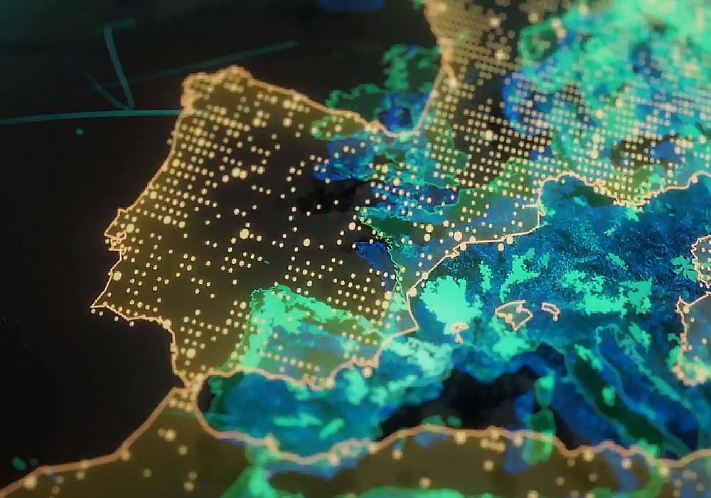
Remote Sensing & Image Analysis

GIS Mapping & Spatial Database Development
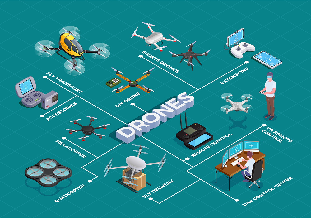

Drone Mapping & Data Processing

LiDAR Mapping & Data Processing


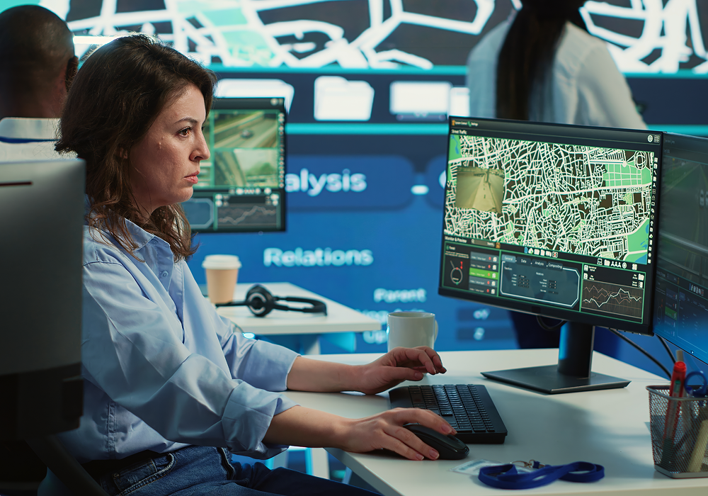
Spatial AI & Analytics
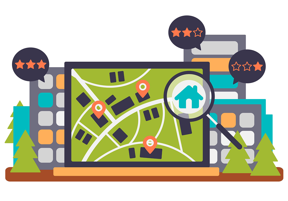

Asset Mapping & Management
“ During the time I have worked with SCG on this project, I have found Mike Campbell and his team to be highly knowledgeable and results-driven. Based on preliminary pilot testing and a strong understanding of subsurface. conditions, in particular fractured bedrock environments. ased on their work on this project. "

Derek AuCoin
Defence Construction Canada
“ For over 10 years working with SCG Industries on environmental contaminated sites they have continuously demonstrated excellent technical ability while ensuring superior customer service. Their collaborative approach and real time flexibility in adapting to changing conditions has contributed to the success of many project goals. “

Derek AuCoin
Defence Construction Canada